When Can States Draw Race-Based Congressional Districts?
Louisiana v. Callais turned Louisiana's second majority-Black district map into a constitutional problem, narrowing the path for Section 2 remedies in redistricting cases.
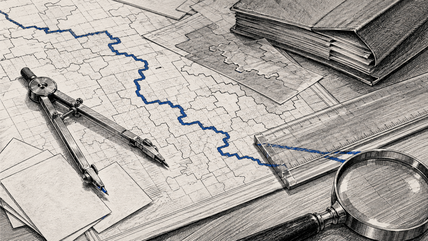
The Shape on the Page
On paper, Louisiana’s new District 6 was a shape with a job.
It stretched across the state as a legal answer. In Robinson v. Ardoin, the Middle District of Louisiana had held that Louisiana’s 2022 congressional map likely violated Section 2 of the Voting Rights Act because it lacked an additional majority-Black district. The opinion states that Louisiana adopted SB8 rather than the Robinson illustrative maps because SB8 protected the Republican incumbents the state considered most important: Speaker Mike Johnson, House Majority Leader Steve Scalise, and Appropriations Committee member Julia Letlow.
That repair became the next lawsuit.
On April 29, 2026, the Supreme Court decided Louisiana v. Callais . The Court held that SB8’s District 6, as drawn, was an unconstitutional racial gerrymander. Because Section 2 did not require an additional majority-Black district on these facts, no compelling interest justified the state’s use of race in SB8.
The result is a legal reversal with consequences beyond Louisiana. A state drew a district to cure a voting-rights problem. The Supreme Court treated the cure as the constitutional injury.
Maps usually enter public life as background documents. They sit in PDFs, hearing rooms, district court records, legislative packets, and state websites. Many voters encounter them only after the decisive choices have already been made. A congressional district looks like geography, but it is closer to machinery. It turns neighborhoods, party, incumbency, race, history, and modeling into seats.
The Callais ruling changed the legal route for proving and remedying racial vote dilution.
The Law Beneath the Line
Section 2 of the Voting Rights Act is an electoral-opportunity rule. The statutory text turns on whether protected voters have less opportunity to participate and elect representatives of choice. It also says Section 2 does not create a right to proportional representation.
Vote dilution can sound abstract until a map shows the mechanism. A community large enough to elect a preferred candidate can be split into pieces, leaving its voters submerged inside districts where their votes rarely shape the outcome. Or the community can be packed into one district, wasting political strength that could have supported representation in another seat. Nobody needs to block the polling place door. The map can do the work.
That is why Section 2 mattered after Shelby County v. Holder invalidated the Section 4(b) coverage formula, leaving formerly covered jurisdictions outside Section 5 preclearance unless separately covered by court order. Section 5 once required covered jurisdictions to obtain federal approval before changing voting rules. After Shelby County, Section 2 became the principal nationwide statutory tool for challenging maps and election rules after they took effect.
For redistricting claims, the familiar framework came through Thornburg v. Gingles , a 1986 case about Black voters in North Carolina. Plaintiffs generally had to show that a minority group was large and compact enough to form a district, that the group was politically cohesive, and that voters outside the minority group usually voted as a bloc to defeat the minority group’s preferred candidates. Then courts reviewed the total circumstances.
That framework always lived with tension. Race remains legally relevant in vote-dilution cases because Section 2 asks whether political processes are equally open to protected voters. In many contested states, race and party preference are closely correlated. In Callais, the majority treated that correlation as part of the problem. A mapmaker can say a line follows party. A plaintiff can say the same line dilutes racial voting strength. Both statements may describe the same shape.
Callais puts new pressure on that overlap. The Court said plaintiffs’ illustrative maps must avoid using race as a districting criterion and must satisfy a state’s legitimate objectives, including political goals. It also said plaintiffs must control for party affiliation when trying to prove racial bloc voting. Evidence of older discrimination and present-day social disparities receive less weight under the majority’s totality analysis unless tied to present-day intentional voting discrimination.
Those requirements sound technical. They are more than technical. They change the evidentiary burden carried by voters who claim a map has diluted their electoral power.
Race, Party, and Proof
The majority’s concern deserves a fair reading.
The Constitution subjects race-based state action to strict scrutiny. A legislature cannot sort citizens by race simply because a districting consultant can make the lines fit. A race-conscious remedy can become constitutionally vulnerable if race predominates over ordinary districting criteria: compactness, contiguity, communities of interest, municipal boundaries, incumbent protection, and political goals.
The majority also worries that partisan claims can be repackaged as racial vote-dilution claims. Since Rucho v. Common Cause , partisan-gerrymandering claims have been treated as political questions beyond federal judicial reach. That creates an incentive. A political party harmed by a map may try to convert a partisan grievance into a racial vote-dilution claim, especially in states where race and party preference track closely.
The majority responds by adding doctrinal limits to Section 2 redistricting claims.
Those limits now stand in front of the kind of districting harms Section 2 has long been used to examine: electoral structures that interact with voting patterns and social conditions to dilute minority voting strength. A map can dilute minority voting power without a legislator announcing racial intent. The Court itself points to modern districting technology, which can generate many possible maps and make illustrative plans easier to produce. Consultants can model race, party, turnout, incumbency, demographics, and neighborhood data, then defend the final plan through race-neutral criteria such as party, incumbency, geography, and communities of interest.
The new standard asks plaintiffs to separate race from party inside a political system where the two often travel together. It asks them to produce evidence supporting a strong inference that the state drew districts to reduce minority voters’ opportunity because of race, even as the dissent argues that discriminatory effects can be hard to prove once partisan explanations are available. It asks them to draw alternative maps that meet state political goals while avoiding race as a criterion, even when the injury concerns the political weakness of a racial community under the enacted map.
That may do more than raise the bar. It may change the kind of wrong Section 2 can practically reach.
Justice Elena Kagan’s dissent, joined by Justices Sonia Sotomayor and Ketanji Brown Jackson, argued that, in the dissent’s view, the decision leaves Section 2 “all but a dead letter” in many cases. The dissent emphasized that Congress amended Section 2 after Mobile v. Bolden to reject an intent-only test and allow challenges based on discriminatory results. In that telling, the Court has revived the proof problem Congress tried to solve.
The fight is partly about text, partly about constitutional power, and partly about how much legal weight the present should give the past. The majority says Congress may enforce the Fifteenth Amendment but may not redefine it. The dissent says Congress chose a results-based rule because subtle voting discrimination is often impossible to prove through direct evidence of motive.
Both sides frame the dispute as a question of constitutional democracy. They are arguing over where the constitutional injury begins: when the state uses race in drawing a district, or when the state draws lines that leave a racial community with less practical power to elect.
The Cost of a Clean Rule
A clean legal rule has institutional appeal. Government use of race is dangerous because it turns a human classification into an instrument of state power. That is why race-conscious line drawing should face hard questions. Districting cannot become a census exercise where each racial group receives seats by formula. The Voting Rights Act itself says nothing in Section 2 creates a right to proportional representation.
That caution carries constitutional force. A system that treats districting as race-based seat allocation would create constitutional problems of its own.
The hard part is that formal race-neutrality can also be artificial. Race-neutral criteria can operate against a background of residential segregation, polarized voting, and prior exclusion. A map that claims to ignore race can preserve the effects of earlier sorting. The underlying data already contains residential patterns, voting behavior, and coalition strength.
The ruling’s immediate legal effect is narrower than the politics that will surround it. As a legal matter, states defending challenged maps now have more room to point to political objectives, while plaintiffs face a more exacting proof path for connecting race, party, and present discrimination.
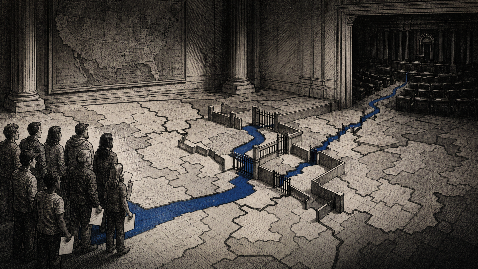
For voters, the injury can be hard to narrate. A person receives a ballot. The polling place opens. The candidate gives speeches. The district has a representative. Nothing looks closed.
Yet representation can be thinned without being denied outright. A voter can remain formally included while living inside a district where their preferred coalition is structurally less likely to prevail. The harm sits in the translation layer: ballots into seats, neighborhoods into districts, communities into power.
That is why redistricting cases have such strange legal texture. They are fights about shapes, but the shapes are arguments about political membership and electoral power.
The Map After the Map
The danger here is broader than one party or one state. When courts narrow the tools available to challenge maps, politics may move into the open space. Legislatures may test the new boundary. Advocacy groups may search for new theories. State constitutional claims may receive more attention. Congress may face renewed pressure to revise voting law, though any federal response would be shaped by the constitutional limits described by the Court.
The Court did not invalidate Section 2. It held that compliance with Section 2, as properly construed, can justify race-based districting in some cases, but that Section 2 did not justify Louisiana’s use of race here. That sentence keeps the Act on a doctrinal path.
The path is narrow.
Plaintiffs must show more than a map that could have created another majority-Black district. They must show a map that satisfies the state’s legitimate goals without using race as a criterion. They must distinguish racial bloc voting and partisan preference. At the totality stage, they must produce evidence supporting a strong inference that the state intentionally drew districts to afford minority voters less opportunity because of race. In states with sophisticated mapmaking and racially polarized partisanship, each step gives defendants room to say the line was political rather than racial, and therefore lawful.
That may become the practical legacy of Callais. The risk is that partisan objectives may become harder to separate from racial effects in federal litigation.
The majority would answer that politics is allowed. States may pursue partisan advantage in redistricting unless some other legal rule blocks them. The Constitution does not turn every hardball map into a federal case. Courts, in this view, should avoid becoming permanent supervisors of democratic competition.
That argument has weight. Courts are blunt tools for political repair. Judges can misread communities, overvalue mathematical symmetry, and mistake a map’s ugliness for legal wrongdoing. A judiciary that redraws too much can become a second legislature.
But withdrawal has costs too. A legislature that controls the map can shape its electorate with substantial precision, aided by modern districting technology. When that precision intersects with race, history, and party, a reduced judicial role does not by itself make the mapmaking process neutral. It shifts more practical power toward mapmakers and away from litigants challenging the map.
The Remedy’s Shadow
The map at the center of Callais was supposed to solve a problem. By the time it reached the Supreme Court, it had become the problem.
That reversal is the story worth keeping. Section 2 rests on the premise that ballot access and district design can both affect electoral opportunity. A voter may be allowed into the booth while the surrounding district lines make representation harder to reach.
The Court’s decision insists that a voting-rights remedy cannot depend too heavily on race unless Section 2, properly construed, requires it. That warning should not be dismissed. Racial remedies can become rigid. Courts and legislatures can overcorrect. A district can carry a community’s political voice while being drawn in a way that treats race as the master fact.
The difficulty on the other side is quieter. The law can also become so wary of race-conscious districting remedies that some racial-dilution claims may fail unless plaintiffs can produce proof that is difficult to obtain when race, party, and geography overlap.
Redistricting law now has to operate inside that tension. A district map is never just a drawing, though it often pretends to be. It is a record of who was grouped, who was split, who was protected, whose interests were subordinated, and who received a realistic chance to elect a preferred representative.
District 6 was a line on a page. Then it became a remedy. Then, in the Court’s judgment, it became a constitutional violation. The next maps will be drawn in the shadow of that sequence.